Key takeaways
- Kansas City hail season runs roughly March through June, peaking in late spring.
- The metro sits in the collision zone where warm Gulf moisture meets cold fronts off the Rockies — the recipe for large hail.
- You usually get a full day's advance warning, with a final 15-to-45-minute window once a warning is issued.
- An enclosed garage is the only guaranteed protection — everything else lowers the risk without erasing it.
- Filing in the first week after a storm gets you repaired first, before the adjuster and shop queues fill.
Why does Kansas City get so much hail?
The Kansas City metro sits in a hail-prone part of the Plains, and the cause is geography meeting atmospheric physics. A few ingredients converge here, and together they build the conditions for large hail.
Gulf moisture pushes north through the Great Plains every spring. Warm, humid air from the Gulf of Mexico streams up through Texas and Oklahoma toward the Kansas City latitude. That low-level moisture is the fuel thunderstorms need to grow the strong updrafts that suspend hailstones and let them grow before they fall.
Cold fronts move east off the Rocky Mountains and collide with that moisture. The jet stream dips south in spring and shoves cold, dry air across the western Plains. When that cold air meets the warm Gulf moisture at the surface, the atmosphere turns unstable — warm air rises hard, cold air wedges underneath, and severe storms fire along the boundary.
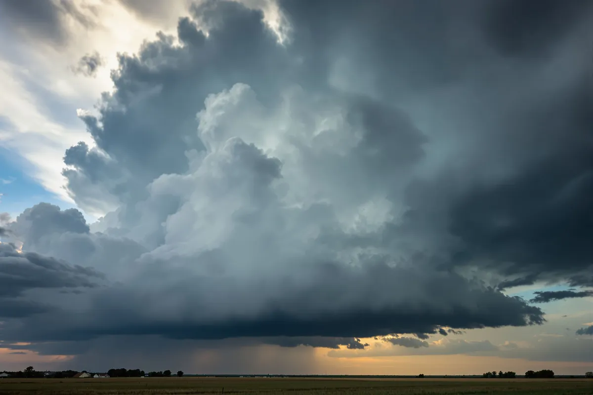
Kansas City sits right in the collision zone. The metro is positioned where those two air masses meet often during spring. When the ingredients line up, supercell thunderstorms form — the rotating storms with updrafts strong enough to produce large hail. As a general regional pattern, storms tend to move across the area from the southwest toward the northeast, though any individual storm can travel any direction, and a single spring can bring stones big enough to dent a hood or roof.
What does the hail calendar look like through the year?
Kansas City's hail season runs roughly March through June, and it peaks in late spring. Knowing the shape of the calendar tells you when your vehicle is most exposed.
Spring is the active window. As the first strong cold fronts of the year start meeting returning Gulf moisture, the atmosphere turns unstable and severe thunderstorms become more likely. That overlap is strongest in late spring, which is when the most significant hail events tend to land. Hail can still happen outside that stretch, but spring is the time of year your car is most at risk.
Hailstone size varies from storm to storm. Plenty of storms drop dime-to-nickel hail that does cosmetic damage, while a strong supercell can produce quarter, half-dollar, or golf-ball stones — and, on rare occasions, larger. Even smaller hail dents sheet metal, which is exactly what paintless dent repair is built to undo.
The quieter months are the time to prepare. Outside the spring window, damaging hail is less common. That makes late summer through winter the time to confirm your comprehensive coverage, check your deductible, and get a parking plan ready for next season.
How much warning will you get before a storm?
Modern hail forecasting gives you layered warning, from days out down to minutes before impact. Here is what meteorologists can tell you and when.
- Six to eight days outThe Storm Prediction Center issues convective outlooks flagging broad regions where severe weather is possible. At that range, the message is "the central Plains may see severe storms late next week" — no specific cities or hail sizes yet.
- Three to five days outThe models narrow the risk area and enhanced-risk outlooks appear, which is your first actionable signal to check garage availability and parking plans.
- One day outThe Day 1 outlook carries specific risk levels — marginal, slight, enhanced, moderate, or high. If Kansas City lands in a moderate or high risk for large hail, the event is likely, and this is your strongest advance warning.
- One to three hours outSevere thunderstorm watches go up, meaning conditions to produce severe storms are in place.
- Fifteen to 45 minutes outWarnings are issued for specific areas as radar detects hail signatures inside the storms. That is the final window — if your vehicle is outside, you have 15 to 45 minutes to act.
The practical takeaway is straightforward. You usually know a full day ahead that a significant hail threat exists, and the final 15 to 45 minute warning is the moment to move the car. If you work from home or have a garage, that window is usually enough. If your vehicle sits at an office lot or on the street, the 24-hour outlook is when you make the parking call.
How can you protect a vehicle before and during a storm?
An enclosed garage is the only guaranteed protection against hail damage. Everything else lowers the risk without erasing it. Ranked from most to least effective, here are the real options.
- An enclosed garage gives you complete protection — use it during hail season, even if that means clearing out storage, because five to fifteen thousand dollars in potential damage usually outweighs the floor space.
- A covered parking structure handles vertical hail well, though wind-driven hail can still reach the edges, so park toward the center.
- A carport cuts damage sharply by blocking direct impact on the hood, roof, and trunk — the panels that take the worst of it.
- Padded car covers and hail blankets run roughly $100 to $400 and reduce dent severity on covered panels, but they are not foolproof against large hail and only work if you deploy them before the storm.
- A gas station canopy is a solid last resort if you are caught driving, while a bridge overpass is controversial — it blocks vertical hail but parking on a shoulder creates a real traffic hazard.
- Floor mats or blankets on the windshield are the weakest option, but they beat nothing for cutting windshield strikes from smaller hail when you are stuck at home.

How does Bryan prepare the Olathe shop for storm season?
After 23 years of Kansas City storm seasons, preparation is a routine, not a scramble. Here is what happens at our Olathe shop before the peak arrives.
LED line board inspection equipment gets checked and calibrated. Line boards are how we reveal the hail damage that is invisible to the naked eye, so before the season every board is inspected to make sure it throws the even, shadow-free light that accurate panel-by-panel dent mapping needs. The paintless dent repair tool inventory gets audited and restocked — repairing a vehicle carrying 300-plus dents demands specialized tips, shaft lengths, and access angles, so every tool is inspected, sharpened or replaced, and organized for fast deployment.
Adjuster relationships get refreshed and scheduling capacity gets mapped. We work with the same Kansas City-area adjusters year after year, so before the season we confirm current contacts, talk through any changes to supplement procedures, and make sure our CCC ONE estimate format still matches what they expect. We also build flex capacity into the schedule based on how many vehicles a major storm typically generates in our service area, so that when a storm hits, repairs start within days rather than weeks.
Why does filing early matter so much?
During peak season, a single major event can generate thousands of insurance claims across the metro within 24 hours. Understanding that demand surge explains why timing drives your repair.
In week one, adjusters are available and moving fast, catastrophe teams are deployed, and shops still have open capacity from their pre-season buffer — the best time to file your First Notice of Loss and schedule an estimate. By weeks two and three, adjuster availability tightens, in-person inspection waits stretch to a week or two, and shop schedules fill quickly. By weeks four through six, the backlog is full: adjusters schedule two to three weeks out, shops book four to six weeks ahead, and a second storm in that window compounds everything.
So file your First Notice of Loss the day you find the damage. Do not wait to see if it is "bad enough," do not wait for a neighbor's recommendation, and do not wait for the insurance company to call you. The drivers who file in week one get repaired in weeks two and three. The drivers who file in week three wait until weeks six through eight.
Does owning a vehicle here mean planning for hail?
For most Kansas City drivers, hail is a question of when, not if. The metro sits in a part of the country that sees large hail often enough that it is worth planning around rather than hoping to dodge.
The practical math is simple. Carrying comprehensive coverage with a deductible you are comfortable with, plus a garage or covered parking plan for spring, is the most reliable way to keep a hailstorm from becoming an expensive surprise. If you are buying a home in the metro, a garage you can actually park in is worth more than the storage it might otherwise hold.
What should you do before the spring storms?
Five steps to take before the active spring window, all of them free or nearly free.
- Confirm your comprehensive coverage and check your deductibleComprehensive is the part of your policy that covers hail. Review your deductible amount so there are no surprises, and consider adding rental reimbursement if you do not have it — you will likely want a rental during the repair window.
- Assess your parkingIf you have a garage, use it, even if it means reorganizing storage. If you rent and park outside, ask your landlord about covered options. If you park at an open office lot, scout the nearest parking structure for storm days.
- Set up weather alerts on your phoneThe NWS app, Weather Underground, and most local TV station apps push severe thunderstorm warnings automatically. Enable them — the 15 to 45 minute window only helps if the alert reaches you.
- Review how you will document damageIf hail hits, you want photos within 24 hours, before rain washes away evidence and before a car wash. Our documentation guide walks through exactly what to capture.
- Save a shop's numberWhen you need it, you will be glad you do not have to search for it. Ours is (816) 451-1455.
When should you file, and where do you start?
You can start the free claim walkthrough at any point in the season. Pre-season, we are usually available the same week. In peak season, we are still typically within 48 to 72 hours for an initial estimate. The earlier you file after an event, the shorter your total time from damage to a finished vehicle. You file the claim with your carrier — we never file it for you — and once it is approved, we handle every step of the repair. Do not wait to see what your neighbors do.